(1092kb 1.06mb)
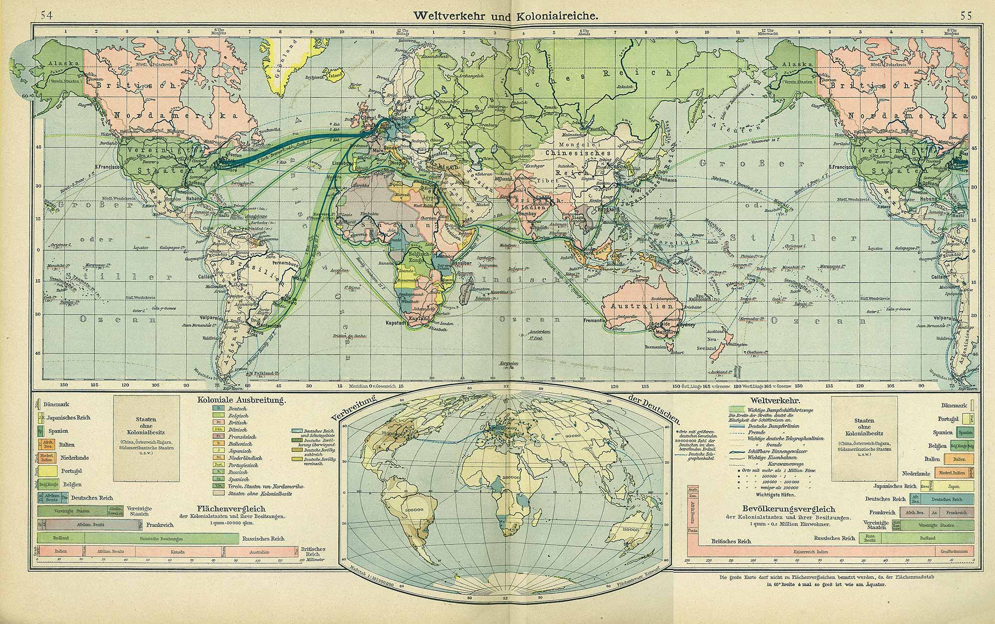
Berliner Schul-Atlas 1916, pages 54 to 55.
|
|
Weltverkehr und Kolonialreiche, Andrees Berliner Schul-Atlas 1916, pages 54 to 55
|
⇒ |
Enlargement of Weltverkehr und Kolonialreiche, (1092kb 1.06mb) Berliner Schul-Atlas 1916, pages 54 to 55.
|